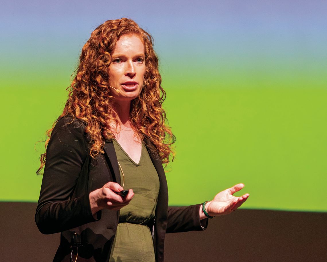
Excavation and study of artifacts and other features from the former homestead occupied by the Bender family in northwest Labette County will take months and perhaps years.
Archeologists and a geophysicist updated the public Saturday in the Parsons Municipal Auditorium about the surveying and excavating of a portion of the land where the Bender family ran a grocery store in the early 1870s. The Benders robbed, murdered and buried from eight to 11 people in or near a young orchard near their home.
They left in the spring of 1873 after Dr. William York went missing en route to Fort Scott. York was an Independence physician and his brother was a connected politician who organized a posse to search for his sibling. Dr. York’s body was among those recovered on the Bender property in early May 1873.
The Bender homestead sat on the Osage Mission Trail, a highway of that day between Osage Mission, now St. Paul, and Independence. The Benders, a dad, his wife, and perhaps their two children, operated the grocery store and inn there. Unwary travelers looking for a meal or a cot may have been murdered, their heads smashed by a hammer and their throats slit. A cellar behind the curtain in the house held the corpses until they could be buried.
People at the time carried varying sums of money to purchase land as the area had just been opened legally to homesteaders after the Osage Indians were removed from Kansas.
Bob Miller of Independence bought at auction the acreage that the Benders once occupied. He heard the Bender story years ago and has remained interested and intrigued by it. By inviting the University of Kansas and others to the site, he hopes modern equipment and tried and true archeological methods could fill in some gaps in the Bender story.
Miller spoke Saturday night and introduced his guests. Chris Hord is an archeologist associated with the Kansas State Historical Society. Blair Schneider is a geophysicist with the Kansas Geological Survey. Lauren Norman is a professor of archeology at KU.
Schneider led the kickoff Bender field school in 2023 and returned this past summer to expand her work. Norman led the excavation and KU field school on the Bender project in May. Hord has helped with both projects, the surveying and the excavating.
Hord said he and the students who helped with the projects were mindful of the atrocities that happened on the land. But their goal was data.
“It helps that we’ve got a mission and we’re looking at it
See BENDER, Page 12.
through an archeological prism,” Hord said.
Hord explained that the project benefited from the historical record that included photos and sketches of the Bender homestead after the atrocities were discovered. Publications across the country ran sketches, photos and maps of the area, the property and the home. The sketches and photos showed where volunteers found the graves and their proximity to the house or other structures on the property.
Other artifacts tell more about the story, including the alleged hammers used by the Benders on their victims. The hammers are at the Cherryvale museum. The Parsons museum has a piece of the threshold stone from the Bender cabin.
The Bender cabin faced north and was right on the Osage Mission Trail. When volunteers moved the cabin to reveal the cellar where the victims were dumped, the structure was placed on the trail.
Hord discussed the history of the area, including when settlement began of the mostly treeless prairie.
The area wasn’t known officially as the Bender Mounds until renamed by the U.S. Geological Survey in 1973.
The maps found in various publications are especially helpful to determine where features on the property may be, from the home to the corral to the corn crib to the wells and graves, he said. The pictures also show how deep the bodies were buried — pictures show men standing in the graves — which gives archeologists some idea of how deep to excavate.
“In archeology, we’re always looking for features. That’s our bread and butter is finding features,” he said.
The wells are important for what they can reveal. He said one body was found in a well, so the Benders may have dug another well after that.
The land has been used for farming since the Benders left. Farming activity has an impact on the studies.
“That tillage equipment moves any artifacts that were in the ground. It moves them around laterally, vertically. That’s something that we always have to contend with with sites that have been turned into farmland,” he said.
Farming tends to break down artifacts into smaller pieces. He said he dug a control unit about 4-feet deep away from where he and Norman thought they would find artifacts on the property. This helps provide a natural profile of what the soil should be.
Hord said the Benders were clever enough when they dug the graves to save the topsoil and return this to the tops of the gravesites so the subsoil wouldn’t be showing. Having a bunch of patches in their orchard would be red flag, he said.
“They were clever enough to cover their tracks that way,” Hord said.
Hord said he still has much research to do, including trying to find homestead records for the Benders, if they exist. He hopes to do this research in the winter.
Schneider said the Bender site will help tell the story of early settlers in Southeast Kansas. There’s not a lot of data about what these settlements looked like after the Osage Indians were forced out by treaty.
She explained the methods she used with her students to map what was below ground. These methods can detect items in the ground and where structures and roads were.
Nails, ceramic pieces, tableware, hardware, window glass and other items were found on the site, about 1,200 items in all. Many of them were collected and mapped as to their location. They also found a button.
Most of the found items were concentrated in one area. She said the instruments used were not able to determine where the Osage Mission Trail was.
“What I’ve come to figure out at this point is that there’s been so much plowing on the site for so many years that any remnants of any trail coming through here we won’t be able to find,” Schneider said.
The instruments found some areas that could prove valuable for excavation.
Norman said the excavation work this spring was slow as students removed a centimeter of dirt at a time and then ran it through a screen to find artifacts that could be useful in telling the story of the site. Context is crucial to archeologists. Window glass may indicate that the house was near. Stones could indicate a former fire pit or well.
Excavation tried to get below the plow line, about a meter or more. Rain interrupted some of the work and filled excavated holes.
Norman noted that they found differences in the soil beneath the plow line when compared to the neutral hole that Hord dug. The dirt should have been a uniform brown but they found some yellow subsoil.
Artifacts found included pieces of burned coal or badly fired brick and a porcelain doll leg.
Norman thinks that the Benders were the only family to occupy the ground, which makes the site unique to archeology. Most sites have been occupied by several families.
She hopes to find through research and analysis the origin of the artifacts found. Where they from Germany, where the Benders came from? Were they from somewhere else the family had traveled?
She said archeology is intensive work. Collecting the artifacts is just a fraction of the work that needs to be done to find answers. Artifacts need to be cataloged, cleaned, measured and sorted so they know which ones will be sent off for elemental analysis or for further in house analysis.
So two weeks of field work means she has 10 months of lab work to do, and this process will continue on the Bender site and back at the lab for years to come.
“This is going to take us a couple of years, just from the material we got the last two years. Then we’re going to keep coming back.”
Norman said this is the first historical archeology done in Southeast Kansas.
“So we’re going to try to place it within its broader Kansas frontier network,” she said.
Work will continue this winter and again in the spring or summer.
Miller reminded those attending that his property is private and visitors are not allowed without his permission. He has signs and cameras at the site and will prosecute those who trespass.


